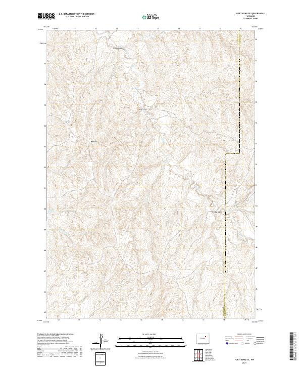
2021 Map of Fort Reno SE
USGS Topo · Published 2021About this map
Table Mtn rises above a landscape defined by seasonal drainages and cattle country at the border of Johnson and Campbell Counties. This high plains region is characterized by a network of ephemeral watercourses including Craney Draw, Heidt Draw, and Del Gulch, which feed into the larger Willow Creek system. The presence of Streeter Reservoir in the western portion of the quadrangle highlights the importance of water management in this arid stretch of Wyoming. Surveyed into the township and range system, the map delineates sections within t45n r76w and adjacent areas, showing the sparse but intentional human imprint on the land through primitive roads and section lines. For local historians and land researchers, the map provides precise locations for these named topographic features and water sources as they existed in the early 21st century.
Find a feature on this map
13 named features on this map. Tap any name to fly to it.
Don’t see what you’re looking for? This feature index may not catch every label — zoom into the map to look around manually.
Map Details
Editions of this 2021 Fort Reno SE Map
This is the sole edition of this map. No revisions or reprints were ever made.
Other maps of this area

1953 · Hoe Ranch
USGS Topo · 1:24,000

1953 · Dry Fork Ranch
USGS Topo · 1:24,000

1953 · Fort Reno
USGS Topo · 1:24,000

1953 · Fort Reno SE
USGS Topo · 1:24,000

1953 · Fats Draw
USGS Topo · 1:24,000

1953 · The Nipple
USGS Topo · 1:24,000

1953 · Rolling Pin Ranch
USGS Topo · 1:24,000

1953 · North Butte
USGS Topo · 1:24,000

1954 · House Creek
USGS Topo · 1:24,000

1955 · Newcastle
USGS Topo · 1:250,000