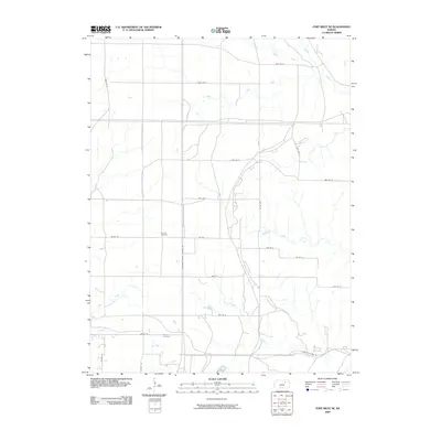
2009 Map of Fort Riley NE
USGS Topo · Published 2009About this map
Little Arkansas Creek and Wildcat Creek define the northern drainage of this Kansas landscape, which is characterized by a strictly organized grid of rural roads and canyon passages. The area carries traces of its earlier community life through family-named landmarks like Shanks Cemetery and the Vinton Cemetery, located near the southern boundary. The presence of Vinton School Rd suggests the historical footprint of a local schoolhouse that once served this prairie region. The terrain is marked by significant hydrological features including Threemile Creek and Sevenmile Creek, while specialized transportation routes such as Governor Harvey Canyon Rd and Quarry Rd highlight the intersection of natural topography and local industry in Riley County during the early 21st century.
Find a feature on this map
28 named features on this map. Tap any name to fly to it.
Don’t see what you’re looking for? This feature index may not catch every label — zoom into the map to look around manually.
Map Details
Editions of this 2009 Fort Riley NE Map
This is the sole edition of this map. No revisions or reprints were ever made.
Other maps of this area

1886 · Junction City
USGS Topo · 1:125,000

1889 · Junction City
USGS Topo · 1:125,000

1894 · Junction City
USGS Topo · 1:125,000

1947 · Manhattan
USGS Topo · 1:62,500

1947 · Fort Riley
USGS Topo · 1:62,500

1950 · Keats
USGS Topo · 1:24,000

1950 · Junction City
USGS Topo · 1:24,000

1950 · Alida
USGS Topo · 1:24,000

1951 · Ogden
USGS Topo · 1:24,000

1951 · Wind Creek
USGS Topo · 1:24,000