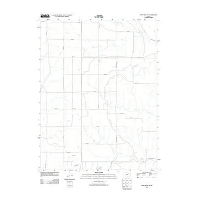
2012 Map of Fort Riley NE
USGS Topo · Published 2012About this map
The northern reaches of the Fort Riley NE quadrangle in Riley County are defined by the winding drainages of Sevenmile Cr and Threemile Cr, which carve through the Flint Hills landscape north of the Kansas River. This 2012 survey illustrates the military and rural intersection of the region, featuring thoroughfares such as Governor-Harvey-Canyon Rd and 1st Division Rd that speak to the area's long association with the nearby Army post.
Find a feature on this map
35 named features on this map. Tap any name to fly to it.
Don’t see what you’re looking for? This feature index may not catch every label — zoom into the map to look around manually.
Map Details
Editions of this 2012 Fort Riley NE Map
This is the sole edition of this map. No revisions or reprints were ever made.
Other maps of this area

1886 · Junction City
USGS Topo · 1:125,000

1889 · Junction City
USGS Topo · 1:125,000

1894 · Junction City
USGS Topo · 1:125,000

1947 · Manhattan
USGS Topo · 1:62,500

1947 · Fort Riley
USGS Topo · 1:62,500

1950 · Keats
USGS Topo · 1:24,000

1950 · Junction City
USGS Topo · 1:24,000

1950 · Alida
USGS Topo · 1:24,000

1951 · Ogden
USGS Topo · 1:24,000

1951 · Wind Creek
USGS Topo · 1:24,000