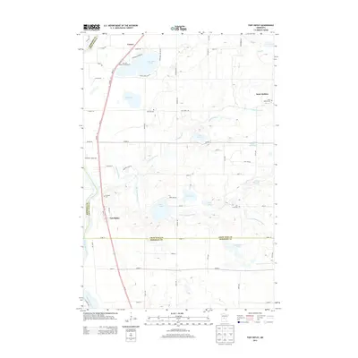
2013 Map of Fort Ripley
USGS Topo · Published 2013About this map
The Mississippi River defines the western edge of this central Minnesota landscape, where the town of Fort Ripley sits at the junction of MN-371 and local routes. This area is characterized by a dense network of water bodies and wetlands, including the sprawling Crow Wing Lake and the meandering course of the Nokasippi River. Small settlements such as Saint Mathias and Lennox provide points of interest for genealogists, as do several local burial grounds like Ft Ripley Cem, Saint Mathias Cem, and Oak Hill Cem.
Find a feature on this map
65 named features on this map. Tap any name to fly to it.
Don’t see what you’re looking for? This feature index may not catch every label — zoom into the map to look around manually.
Map Details
Editions of this 2013 Fort Ripley Map
This is the sole edition of this map. No revisions or reprints were ever made.
Other maps of this area
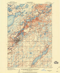
1915 · Brainerd
USGS Topo · 1:62,500
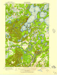
1916 · Pillager
USGS Topo · 1:62,500
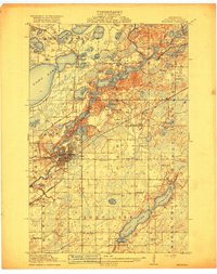
1918 · Brainerd
USGS Topo · 1:62,500
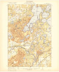
1919 · Pillager
USGS Topo · 1:62,500
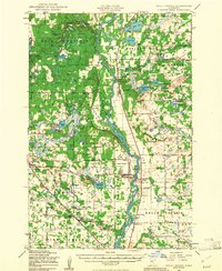
1948 · Belle Prairie
USGS Topo · 1:62,500
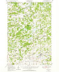
1948 · Lastrup
USGS Topo · 1:62,500
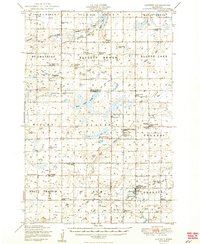
1950 · Lastrup
USGS Topo · 1:62,500
1950 · Belle Prairie
USGS Topo · 1:62,500
1953 · Brainerd
USGS Topo · 1:250,000
1954 · Baxter
USGS Topo · 1:24,000