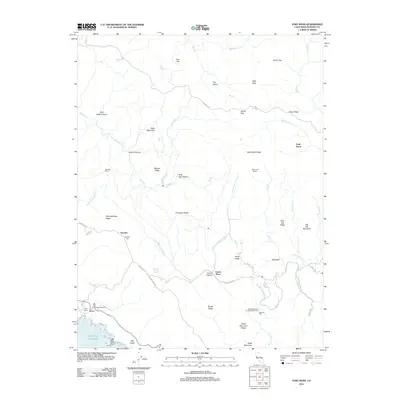
2012 Map of Fort Ross
USGS Topo · Published 2012About this map
Fort Ross (Historic) and the coastal settlement of Seaview overlook the Pacific from the high ridges of the Sonoma coast in this 2012 survey. The landscape is defined by the steep drainage basins of the S Fork Gualala River and Russian Gulch Cr, where small-scale ranching and timber operations like Murphy Mill have historically carved a living from the terrain. Genealogists and local historians will find several family-named landmarks such as Seafeldt Ranch, Happy Hill Ranch, and Call Ranch, along with the Seaview Cem situated along Seaview Rd. Further inland, the map identifies contemporary and legacy sites like the Truth Home and Toners Place, while the presence of Meteni at the historic fort site acknowledges the indigenous heritage of the area. This record provides a detailed look at the interface between the rugged coastal mountains and the sea, tracing the winding paths of Fort Ross Rd and Meyers Grade Rd.
Find a feature on this map
64 named features on this map. Tap any name to fly to it.
Don’t see what you’re looking for? This feature index may not catch every label — zoom into the map to look around manually.
Map Details
Editions of this 2012 Fort Ross Map
This is the sole edition of this map. No revisions or reprints were ever made.
Other maps of this area

1921 · Skaggs
USGS Topo · 1:62,500

1921 · Plantation
USGS Topo · 1:62,500

1942 · Arched Rock
USGS Topo · 1:24,000

1943 · Tombs Creek
USGS Topo · 1:24,000

1943 · Plantation
USGS Topo · 1:24,000

1943 · Cazadero
USGS Topo · 1:24,000

1943 · Annapolis
USGS Topo · 1:24,000

1943 · Duncans Mills
USGS Topo · 1:24,000

1943 · Skaggs Springs
USGS Topo · 1:24,000

1943 · Fort Ross
USGS Topo · 1:24,000