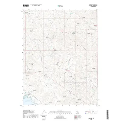
2018 Map of Fort Ross
USGS Topo · Published 2018About this map
Fort Ross sits at the edge of the Pacific Ocean, where the complex geology of the San Andreas Fault meets the Sonoma coastline. This modern topography reveals a landscape deeply divided by sharp ridges and deep canyons, with the S Fork Gualala River and Russian Gulch cutting through the coastal mountains. The inland areas are defined by a network of ranch roads and remote landmarks like The Island and Table Mountain, which emphasize the isolation of the terrain above the shoreline.
Find a feature on this map
84 named features on this map. Tap any name to fly to it.
Don’t see what you’re looking for? This feature index may not catch every label — zoom into the map to look around manually.
Map Details
Editions of this 2018 Fort Ross Map
This is the sole edition of this map. No revisions or reprints were ever made.
Other maps of this area
1921 · Skaggs
USGS Topo · 1:62,500
1921 · Plantation
USGS Topo · 1:62,500
1942 · Arched Rock
USGS Topo · 1:24,000
1943 · Tombs Creek
USGS Topo · 1:24,000
1943 · Plantation
USGS Topo · 1:24,000
1943 · Cazadero
USGS Topo · 1:24,000
1943 · Annapolis
USGS Topo · 1:24,000
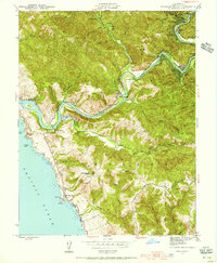
1943 · Duncans Mills
USGS Topo · 1:24,000
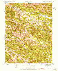
1943 · Skaggs Springs
USGS Topo · 1:24,000
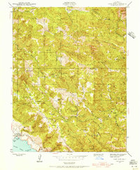
1943 · Fort Ross
USGS Topo · 1:24,000