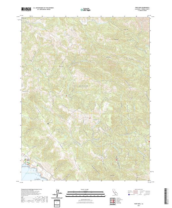
2021 Map of Fort Ross
USGS Topo · Published 2021About this map
Fort Ross sits prominently along the edge of the Pacific Ocean, anchoring a landscape defined by deep gulches and high, parallel ridges. The settlement and its nearby Fort Ross Cove represent a critical point of early historical contact and maritime activity on the Sonoma coast. Moving inland, the terrain rises sharply into complex formations like Kings Ridge and Mohrhardt Ridge, creating a network of isolated watersheds including the S Fork Gualala River and Austin Cr.
Find a feature on this map
86 named features on this map. Tap any name to fly to it.
Don’t see what you’re looking for? This feature index may not catch every label — zoom into the map to look around manually.
Map Details
Editions of this 2021 Fort Ross Map
This is the sole edition of this map. No revisions or reprints were ever made.
Other maps of this area

1921 · Skaggs
USGS Topo · 1:62,500

1921 · Plantation
USGS Topo · 1:62,500

1942 · Arched Rock
USGS Topo · 1:24,000

1943 · Tombs Creek
USGS Topo · 1:24,000

1943 · Plantation
USGS Topo · 1:24,000

1943 · Cazadero
USGS Topo · 1:24,000

1943 · Annapolis
USGS Topo · 1:24,000

1943 · Duncans Mills
USGS Topo · 1:24,000

1943 · Skaggs Springs
USGS Topo · 1:24,000

1943 · Fort Ross
USGS Topo · 1:24,000