
1943 Map of Fort Ross
USGS Topo · Published 1958About this map
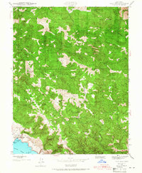
Fort Ross State Historic Monument stands as the primary coastal landmark on this Sonoma County survey, marking the site of the early 19th-century Russian settlement. The landscape is defined by its series of parallel ridges, including Mohrhardt Ridge, Kings Ridge, and Creighton Ridge, which dictated the early placement of ranching outposts and schools. Settlers navigated this steep terrain along routes like Sewell Road, establishing remote gathering spots such as the Trospers Club and Mc Kenzie Creek Club.
Find a feature on this map
52 named features on this map. Tap any name to fly to it.
Don’t see what you’re looking for? This feature index may not catch every label — zoom into the map to look around manually.
Map Details
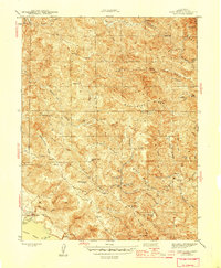
Editions of this 1943 Fort Ross Map
2 editions found
Other maps of this area

1921 · Skaggs
USGS Topo · 1:62,500

1921 · Plantation
USGS Topo · 1:62,500

1942 · Arched Rock
USGS Topo · 1:24,000

1943 · Tombs Creek
USGS Topo · 1:24,000

1943 · Plantation
USGS Topo · 1:24,000

1943 · Cazadero
USGS Topo · 1:24,000

1943 · Annapolis
USGS Topo · 1:24,000

1943 · Duncans Mills
USGS Topo · 1:24,000

1943 · Skaggs Springs
USGS Topo · 1:24,000
1944 · Fort Ross
USGS Topo · 1:31,680