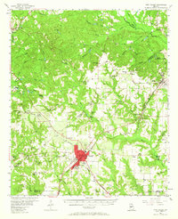
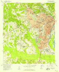
1956 Map of Fort Valley
USGS Topo · Published 1965About this map
Fort Valley serves as the central hub of this mid-century landscape, where the Southern and Central Of Georgia railroads converge. The town's significance as a regional anchor is highlighted by the presence of State College, the County Hospital, and the City Hall PO. Surrounding the urban center, the countryside is dotted with rural gathering places like Jordan Chapel, Rose Chapel, and the Oak Lawn School.
Find a feature on this map
69 named features on this map. Tap any name to fly to it.
Don’t see what you’re looking for? This feature index may not catch every label — zoom into the map to look around manually.
Map Details
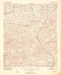
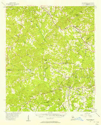
Editions of this 1956 Fort Valley Map
2 editions found
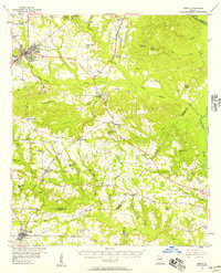
Other maps of this area
1951 · Yatesville
USGS Topo · 1:62,500

1955 · Phenix City
USGS Topo · 1:250,000

1956 · Fort Valley
USGS Topo · 1:62,500
1956 · Bolingbroke
USGS Topo · 1:62,500
1956 · Perry
USGS Topo · 1:62,500

1956 · Warner Robins
USGS Topo · 1:62,500
1956 · Macon West
USGS Topo · 1:24,000
1956 · Macon
USGS Topo · 1:62,500

1957 · Phenix City
USGS Topo · 1:250,000

1957 · Macon
USGS Topo · 1:250,000