
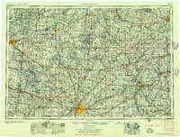
1956 Map of Fort Wayne
USGS Topo · Published 1956About this map
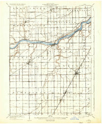
Fort Wayne serves as the primary urban anchor of this mid-1950s survey, where the convergence of the St. Marys River and St. Joseph River forms the Maumee River. This tri-state region, spanning northern Indiana, southern Michigan, and northwest Ohio, is defined by an intensive network of transportation. Major rail corridors like the New York Central and Wabash crisscross the landscape, connecting industrial hubs like Elkhart and Adrian to smaller agricultural centers such as Sturgis and Bryan.
Find a feature on this map
64 named features on this map. Tap any name to fly to it.
Don’t see what you’re looking for? This feature index may not catch every label — zoom into the map to look around manually.
Map Details
Editions of this 1956 Fort Wayne Map
2 editions found
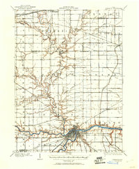
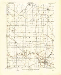
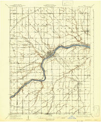
Other maps of this area

1904 · Ann Arbor
USGS Topo · 1:125,000

1906 · Saline
USGS Topo · 1:62,500

1906 · Columbus Grove
USGS Topo · 1:62,500

1907 · Bluffton
USGS Topo · 1:62,500
1907 · Defiance
USGS Topo · 1:62,500

1908 · Ann Arbor
USGS Topo · 1:125,000

1908 · Columbus Grove
USGS Topo · 1:62,500
1908 · Ottawa
USGS Topo · 1:62,500
1908 · Napoleon
USGS Topo · 1:62,500
1909 · Mc Clure
USGS Topo · 1:62,500