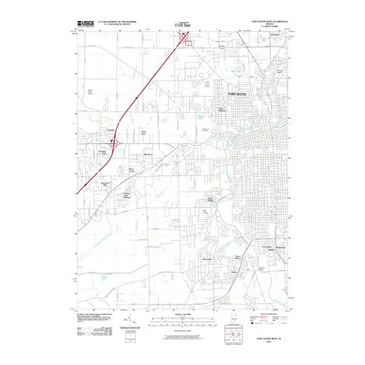
2010 Map of Fort Wayne West
USGS Topo · Published 2010About this map
The Saint Marys River and Saint Joseph River converge here to form the Maumee River, a hydrological junction that has anchored Fort Wayne for centuries. In the early 21st century, the western suburbs show a dense network of residential developments such as Indian Village, Waynedale, and Country Club Gardens, interspersed with extensive drainage infrastructure like Junk Ditch and Fairfield Ditch.
Find a feature on this map
54 named features on this map. Tap any name to fly to it.
Don’t see what you’re looking for? This feature index may not catch every label — zoom into the map to look around manually.
Map Details
Editions of this 2010 Fort Wayne West Map
This is the sole edition of this map. No revisions or reprints were ever made.
Other maps of this area

1953 · Fort Wayne
USGS Topo · 1:250,000

1953 · Muncie
USGS Topo · 1:250,000

1956 · Muncie
USGS Topo · 1:250,000

1956 · Fort Wayne
USGS Topo · 1:250,000

1956 · Fort Wayne West
USGS Topo · 1:24,000

1956 · Fort Wayne East
USGS Topo · 1:24,000

1956 · Cedarville
USGS Topo · 1:24,000

1957 · Huntertown
USGS Topo · 1:24,000

1957 · Churubusco
USGS Topo · 1:24,000

1961 · Arcola
USGS Topo · 1:24,000
Featured Places
- Fort Wayne, IN
- Ansley Acres, IN
- Covington Dells, Fort Wayne
- Indian Village, Fort Wayne
- Lake Shores, Fort Wayne