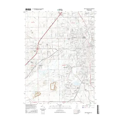
2016 Map of Fort Wayne West
USGS Topo · Published 2016About this map
The Saint Marys River and St Joseph River converge to form the Maumee River in this detailed view of western Fort Wayne. The landscape is a complex mosaic of long-established residential neighborhoods like Indian Village and Waynedale alongside significant educational and spiritual institutions. The grounds of the Univ of Saint Francis Ft Wayne and Taylor Univ Ft Wayne are clearly delineated, as is the expansive Lindenwood Cem near the city's heart.
Find a feature on this map
419 named features on this map. Tap any name to fly to it.
Don’t see what you’re looking for? This feature index may not catch every label — zoom into the map to look around manually.
Map Details
Editions of this 2016 Fort Wayne West Map
This is the sole edition of this map. No revisions or reprints were ever made.
Other maps of this area

1953 · Fort Wayne
USGS Topo · 1:250,000

1953 · Muncie
USGS Topo · 1:250,000

1956 · Muncie
USGS Topo · 1:250,000

1956 · Fort Wayne
USGS Topo · 1:250,000

1956 · Fort Wayne West
USGS Topo · 1:24,000

1956 · Fort Wayne East
USGS Topo · 1:24,000

1956 · Cedarville
USGS Topo · 1:24,000

1957 · Huntertown
USGS Topo · 1:24,000

1957 · Churubusco
USGS Topo · 1:24,000

1961 · Arcola
USGS Topo · 1:24,000
Featured Places
- Fort Wayne, IN
- Ansley Acres, IN
- Covington Dells, Fort Wayne
- Indian Village, Fort Wayne
- Lake Shores, Fort Wayne