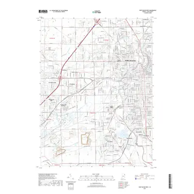
2019 Map of Fort Wayne West
USGS Topo · Published 2019About this map
Fort Wayne and its western suburbs are defined by the convergence of the Saint Marys River and the Maumee River, where industrial transit and residential growth meet. The landscape is carved by an extensive network of drainage ditches such as Junk Ditch and Flaugh Ditch, reflecting the historical effort to manage the local water table for development. In the southern portion of the quadrangle, the community of Waynedale sits near the Prairie Grove Cem and Saint Johns Lutheran Cem, while the Norfolk Southern railroad line cuts through the urban grid. Subdivisions like Indian Village and North Highland show the mid-century expansion of the city footprint. Further west, more modern developments like Covington Dells and Brierwood Hills border the Buckner Farm Trail, illustrating the shift from the city's industrial river core toward more suburban environments.
Find a feature on this map
116 named features on this map. Tap any name to fly to it.
Don’t see what you’re looking for? This feature index may not catch every label — zoom into the map to look around manually.
Map Details
Editions of this 2019 Fort Wayne West Map
This is the sole edition of this map. No revisions or reprints were ever made.
Other maps of this area

1953 · Fort Wayne
USGS Topo · 1:250,000

1953 · Muncie
USGS Topo · 1:250,000

1956 · Muncie
USGS Topo · 1:250,000

1956 · Fort Wayne
USGS Topo · 1:250,000

1956 · Fort Wayne West
USGS Topo · 1:24,000

1956 · Fort Wayne East
USGS Topo · 1:24,000

1956 · Cedarville
USGS Topo · 1:24,000

1957 · Huntertown
USGS Topo · 1:24,000

1957 · Churubusco
USGS Topo · 1:24,000

1961 · Arcola
USGS Topo · 1:24,000
Featured Places
- Fort Wayne, IN
- Ansley Acres, IN
- Covington Dells, Fort Wayne
- Indian Village, Fort Wayne
- Lake Shores, Fort Wayne