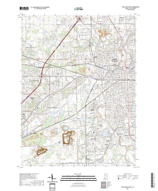
2022 Map of Fort Wayne West
USGS Topo · Published 2022About this map
The western portions of Fort Wayne and its surrounding residential expansions define this map, illustrating the complex intersection of historic urban infrastructure and 21st-century suburban growth. The city center is anchored by the Allen County Courthouse, while academic and religious institutions like the University of Saint Francis and Taylor University Fort Wayne are prominent landmarks. Large historic greenspaces and interment grounds, including Lindenwood Cem and Franke Park, provide a buffer between the dense city grid and the suburban neighborhoods of Westlawn and Ansley Acres.
Find a feature on this map
162 named features on this map. Tap any name to fly to it.
Don’t see what you’re looking for? This feature index may not catch every label — zoom into the map to look around manually.
Map Details
Editions of this 2022 Fort Wayne West Map
This is the sole edition of this map. No revisions or reprints were ever made.
Other maps of this area

1953 · Fort Wayne
USGS Topo · 1:250,000

1953 · Muncie
USGS Topo · 1:250,000

1956 · Muncie
USGS Topo · 1:250,000

1956 · Fort Wayne
USGS Topo · 1:250,000

1956 · Fort Wayne West
USGS Topo · 1:24,000

1956 · Fort Wayne East
USGS Topo · 1:24,000

1956 · Cedarville
USGS Topo · 1:24,000

1957 · Huntertown
USGS Topo · 1:24,000

1957 · Churubusco
USGS Topo · 1:24,000

1961 · Arcola
USGS Topo · 1:24,000
Featured Places
- Fort Wayne, IN
- Ansley Acres, IN
- Country Club Gardens, Fort Wayne
- Covington Dells, Fort Wayne
- Times Corner, Fort Wayne