
1968 Map of Fort William
USGS Topo · Published 1968About this map
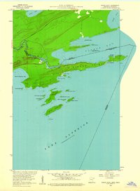
The industrial and maritime centers of Port Arthur and Fort William dominate the western shore of Thunder Bay in this 1968 Army Map Service study. This era captures the twin cities prior to their 1970 merger, showing the complex rail networks of the Canadian Pacific and Canadian National lines serving the grain elevators and docks. Across the international boundary, Isle Royale National Park sits in the cold waters of Lake Superior, its wilderness coastline including Blake Point and Siskiwit Bay. Inland, the landscape is defined by the steep relief of The Palisades and Mt. McKay, while smaller settlements like Kakabeka Falls and Rosslyn Village follow the course of the Kaministikwia River. The map also details the Fort William Indian Reserve 52 and the distinctive geological formation of The Sleeping Giant on the Sibley Peninsula.
Find a feature on this map
93 named features on this map. Tap any name to fly to it.
Don’t see what you’re looking for? This feature index may not catch every label — zoom into the map to look around manually.
Map Details
Editions of this 1968 Fort William Map
This is the sole edition of this map. No revisions or reprints were ever made.
Other maps of this area

1895 · Passage Island
USGS Topo · 1:62,500

1954 · Two Harbors
USGS Topo · 1:250,000

1957 · Two Harbors
USGS Topo · 1:250,000

1957 · Quetico
USGS Topo · 1:250,000

1958 · Two Harbors
USGS Topo · 1:250,000

1958 · Hancock
USGS Topo · 1:250,000
1959 · Pigeon Point
USGS Topo · 1:24,000

1959 · Mineral Center
USGS Topo · 1:24,000

1959 · Pine Lake East
USGS Topo · 1:24,000

1959 · Tom Lake
USGS Topo · 1:24,000