
1959 Map of Pine Lake East
USGS Topo · Published 1961About this map
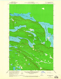
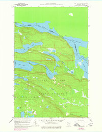
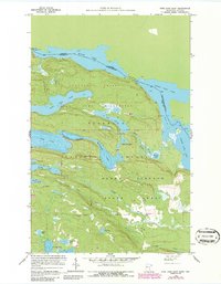
The Canada United States international boundary cuts across the waters of Moose Lake and North Fowl Lake in this 1959 survey of northeastern Minnesota. The landscape is defined by the high-relief topography of the Grand Portage area, where a network of narrow, deep lakes like McFarland Lake and East Pike Lake fill the valleys between prominent ridges. The map illustrates the overlapping jurisdictions of the Superior National Forest and the Minnesota State Forest, showing a wilderness area managed for conservation and resource extraction. Significant water features including the Royal River and Portage Brook connect smaller basins like Royal Lake and John Lake, tracing the natural drainage patterns toward the larger South Fowl Lake. This study documents the region's hydrography and terrain just as the Minnesota Department of Conservation was refining its depth charts for these remote border waters.
Find a feature on this map
25 named features on this map. Tap any name to fly to it.
Don’t see what you’re looking for? This feature index may not catch every label — zoom into the map to look around manually.
Map Details
Editions of this 1959 Pine Lake East Map
4 editions found
Other maps of this area

1954 · Two Harbors
USGS Topo · 1:250,000

1957 · Two Harbors
USGS Topo · 1:250,000

1957 · Quetico
USGS Topo · 1:250,000

1958 · Two Harbors
USGS Topo · 1:250,000

1958 · Hancock
USGS Topo · 1:250,000

1959 · Northern Light Lake
USGS Topo · 1:24,000

1959 · Tom Lake
USGS Topo · 1:24,000

1959 · Pine Lake West
USGS Topo · 1:24,000

1959 · Fort William
USGS Topo · 1:250,000

1960 · Hancock
USGS Topo · 1:250,000