
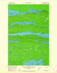
1959 Map of Pine Lake West
USGS Topo · Published 1962About this map
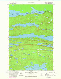
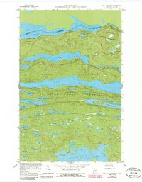
The Canada United States international boundary runs through the north of this 1950s survey, separating the Thunder Bay District of Ontario from Cook County, Minnesota. This remote landscape within the Superior National Forest and Minnesota State Forest is defined by a dense network of glaciated lakes and ridges. Major water bodies like Pine Lake and West Pike Lake dominate the central terrain, while the heights of Moose Mountain overlook the northern portages. The mapping, a collaborative effort involving the Iron Range Resources and Rehabilitation Commission, detail features like Vaseux Lake and Gogebic Lake before modern intensive recreation. This sheet serves as a clear record of the border country's hydrography and topography, showing established portages and the intricate drainage of Puff Creek.
Find a feature on this map
47 named features on this map. Tap any name to fly to it.
Don’t see what you’re looking for? This feature index may not catch every label — zoom into the map to look around manually.
Map Details
Editions of this 1959 Pine Lake West Map
4 editions found
Other maps of this area

1954 · Two Harbors
USGS Topo · 1:250,000

1957 · Two Harbors
USGS Topo · 1:250,000

1957 · Quetico
USGS Topo · 1:250,000

1958 · Two Harbors
USGS Topo · 1:250,000

1959 · Northern Light Lake
USGS Topo · 1:24,000

1959 · Pine Mountain
USGS Topo · 1:24,000

1959 · Pine Lake East
USGS Topo · 1:24,000

1959 · Tom Lake
USGS Topo · 1:24,000

1959 · Crocodile Lake
USGS Topo · 1:24,000

1964 · Two Harbors
USGS Topo · 1:250,000