
1959 Map of Tom Lake
USGS Topo · Published 1962About this map
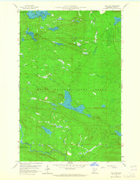
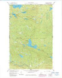
Grand Portage State Forest and the Superior National Forest define this 1950s landscape, where drainage patterns and water bodies dictate the movement through the woods. The central basin is dominated by the elongated shape of Tom Lake, while the Brule River winds across the southern reaches of the quadrangle. High ground is marked by the Devilfish Lookout Tower, situated near Devilfish Lake in the northwestern corner, providing a vital observation point for forest management. The network of waterways includes Portage Brook, Irish Creek, and the Swamp River, reflecting a region largely untouched by heavy development. Small industrial footprints like the Gravel Pit near Beaverdam Creek suggest local maintenance of the scattered unimproved roads that navigate the dense Minnesota timberland.
Find a feature on this map
23 named features on this map. Tap any name to fly to it.
Don’t see what you’re looking for? This feature index may not catch every label — zoom into the map to look around manually.
Map Details
Editions of this 1959 Tom Lake Map
3 editions found
Other maps of this area

1954 · Two Harbors
USGS Topo · 1:250,000

1957 · Two Harbors
USGS Topo · 1:250,000

1957 · Quetico
USGS Topo · 1:250,000

1958 · Two Harbors
USGS Topo · 1:250,000

1958 · Hancock
USGS Topo · 1:250,000

1959 · Northern Light Lake
USGS Topo · 1:24,000

1959 · Pine Lake East
USGS Topo · 1:24,000

1959 · Pine Lake West
USGS Topo · 1:24,000

1959 · Fort William
USGS Topo · 1:250,000

1960 · Hancock
USGS Topo · 1:250,000