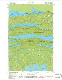
1959 Map of Pine Lake West
USGS Topo · Published 1986About this map
The international border between the Ontario and Minnesota runs directly through Mountain Lake, marking the northern edge of the Boundary Waters Canoe Area Wilderness. This 1950s survey, updated in the 1980s, details the remote glacial topography of the Superior National Forest, where high ridges like Moose Mountain rise over a dense network of water bodies. The map captures the specialized hydrology of the region, including the elongated basins of West Pike Lake and Pine Lake, which were historically vital for canoe-based travel and logging. Smaller features such as Spaulding Lake, Gogebic Lake, and Puff Creek are recorded with precision, reflecting a landscape almost entirely defined by its water routes and complex elevation contours rather than permanent human settlements.
Find a feature on this map
46 named features on this map. Tap any name to fly to it.
Don’t see what you’re looking for? This feature index may not catch every label — zoom into the map to look around manually.
Map Details
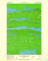
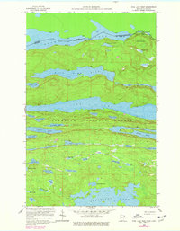
Editions of this 1959 Pine Lake West Map
4 editions found
Other maps of this area

1954 · Two Harbors
USGS Topo · 1:250,000

1957 · Two Harbors
USGS Topo · 1:250,000

1957 · Quetico
USGS Topo · 1:250,000

1958 · Two Harbors
USGS Topo · 1:250,000

1959 · Northern Light Lake
USGS Topo · 1:24,000

1959 · Pine Mountain
USGS Topo · 1:24,000

1959 · Pine Lake East
USGS Topo · 1:24,000

1959 · Tom Lake
USGS Topo · 1:24,000

1959 · Pine Lake West
USGS Topo · 1:24,000

1959 · Crocodile Lake
USGS Topo · 1:24,000