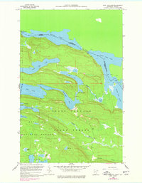
1959 Map of Pine Lake East
USGS Topo · Published 1978About this map
Moose Lake and the international boundary between Ontario and Minnesota define the northern edge of this wilderness landscape, documented through 1959 field checks and 1970s revisions. This portion of the Superior National Forest is characterized by a series of elongated glacial lakes and connecting waterways, including John Lake, McFarland Lake, and Little John Lake, which drain through the Royal River toward the North Fowl Lake basin. The terrain is notably focused on the Grand Portage corridor, where the historic movement of goods and travelers across the height of land is reflected in features like Portage Brook. High-elevation water bodies such as Highlander Lake and Devilfish Lake sit tucked within the ridges, illustrating the complex drainage patterns of the Thunder Bay District Spillway region.
Find a feature on this map
25 named features on this map. Tap any name to fly to it.
Don’t see what you’re looking for? This feature index may not catch every label — zoom into the map to look around manually.
Map Details
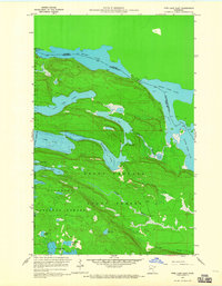
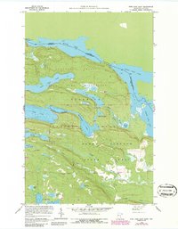
Editions of this 1959 Pine Lake East Map
4 editions found
Other maps of this area

1954 · Two Harbors
USGS Topo · 1:250,000

1957 · Two Harbors
USGS Topo · 1:250,000

1957 · Quetico
USGS Topo · 1:250,000

1958 · Two Harbors
USGS Topo · 1:250,000

1958 · Hancock
USGS Topo · 1:250,000

1959 · Northern Light Lake
USGS Topo · 1:24,000

1959 · Pine Lake East
USGS Topo · 1:24,000

1959 · Tom Lake
USGS Topo · 1:24,000

1959 · Pine Lake West
USGS Topo · 1:24,000

1959 · Fort William
USGS Topo · 1:250,000