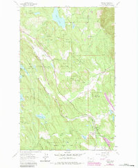
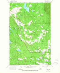
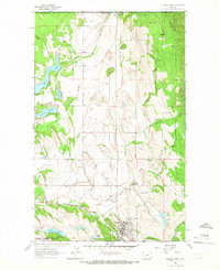
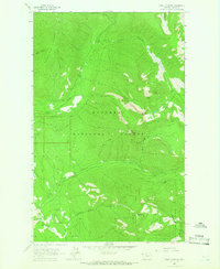
1963 Map of Fortine
USGS Topo · Published 1984About this map
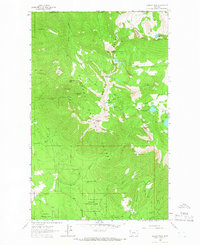
The settlement of Fortine serves as the focal point for this Lincoln County survey, situated where Fortine Creek meets the broader valley floor. This 1963 mapping, with later purple-ink revisions, captures the timber and transport corridor of the Kootenai National Forest during a period of steady industrial utility. The Burlington Northern railroad cuts a diagonal path through the terrain, paralleling the Tobacco River and providing the essential link for the local economy.
Find a feature on this map
32 named features on this map. Tap any name to fly to it.
Don’t see what you’re looking for? This feature index may not catch every label — zoom into the map to look around manually.
Map Details
Editions of this 1963 Fortine Map
2 editions found
Other maps of this area

1913 · Stryker
USGS Topo · 1:125,000

1916 · Stryker
USGS Topo · 1:125,000

1957 · Kalispell
USGS Topo · 1:250,000

1960 · Kalispell
USGS Topo · 1:250,000

1961 · Kalispell
USGS Topo · 1:250,000
1963 · Eureka North
USGS Topo · 1:24,000
1963 · Mount Marston
USGS Topo · 1:24,000
1963 · Ksanka Peak
USGS Topo · 1:24,000
1963 · Eureka South
USGS Topo · 1:24,000
1963 · Stryker
USGS Topo · 1:24,000