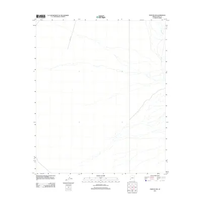
2011 Map of Fortuna SW
USGS Topo · Published 2011About this map
Fortuna Wash dominates the eastern landscape of this Yuma County quadrangle, showing a complex drainage pattern through the arid terrain of southwest Arizona. The map illustrates a primarily undeveloped region where the desert floor is etched by numerous ephemeral stream channels and washes that feed into the larger wash system. Human infrastructure is limited to the northern portion of the sheet, where Avenue 10th E cuts across the grid, providing a solitary point of reference for researchers tracing the expansion of road networks and land divisions near Yuma. The contour lines reveal a subtle but steady elevation change, characteristic of the low desert plains leading toward the Gila River valley.
Find a feature on this map
2 named features on this map. Tap any name to fly to it.
Don’t see what you’re looking for? This feature index may not catch every label — zoom into the map to look around manually.
Map Details
Editions of this 2011 Fortuna SW Map
This is the sole edition of this map. No revisions or reprints were ever made.
Other maps of this area

1903 · Yuma
USGS Topo · 1:125,000

1905 · Yuma
USGS Topo · 1:125,000

1926 · Fortuna
USGS Topo · 1:62,500

1929 · Fortuna
USGS Topo · 1:62,500

1940 · Yuma
USGS Topo · 1:62,500

1942 · Yuma
USGS Topo · 1:250,000

1945 · Yuma
USGS Topo · 1:62,500

1952 · Yuma East
USGS Topo · 1:24,000

1954 · El Centro
USGS Topo · 1:250,000

1955 · El Centro
USGS Topo · 1:250,000