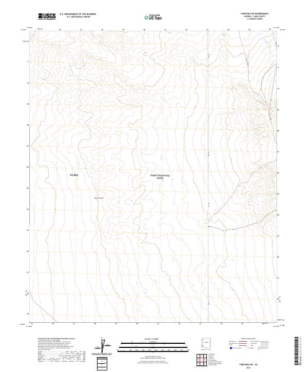
2021 Map of Fortuna SW
USGS Topo · Published 2021About this map
The Yuma Desert landscape dominates this modern 2021 topographic survey of the southwest corner of the Fortuna region. Located within the expansive Yuma boundary, the terrain is defined by the arid drainage of Fortuna Wash and a grid of township and range lines. Transportation through this desert environment is marked by Cam Del Diablo and Ave 13E, routes that reflect the enduring utility of desert corridors in the borderlands. The map serves as a detailed record of the physical geography and public land survey system divisions, including t10s r22w and t11s r21w, providing a precise look at the drainage patterns and desert floor before any further modern development.
Find a feature on this map
11 named features on this map. Tap any name to fly to it.
Don’t see what you’re looking for? This feature index may not catch every label — zoom into the map to look around manually.
Map Details
Editions of this 2021 Fortuna SW Map
This is the sole edition of this map. No revisions or reprints were ever made.
Other maps of this area

1903 · Yuma
USGS Topo · 1:125,000

1905 · Yuma
USGS Topo · 1:125,000

1926 · Fortuna
USGS Topo · 1:62,500

1929 · Fortuna
USGS Topo · 1:62,500

1940 · Yuma
USGS Topo · 1:62,500

1942 · Yuma
USGS Topo · 1:250,000

1945 · Yuma
USGS Topo · 1:62,500

1952 · Yuma East
USGS Topo · 1:24,000

1954 · El Centro
USGS Topo · 1:250,000

1955 · El Centro
USGS Topo · 1:250,000