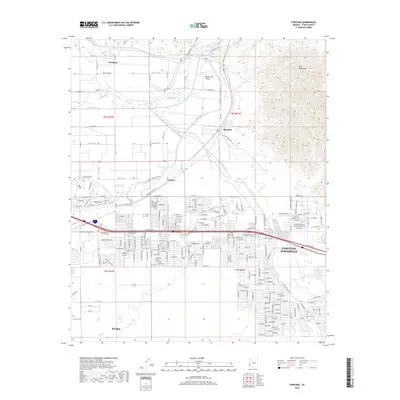
2018 Map of Fortuna
USGS Topo · Published 2018About this map
The Gila River winds through the northern portion of this landscape, anchoring the South Gila Valley and the settlement of Buckshot. This arid region exhibits a transition from the agricultural lowlands near the river and the S Gila Valley Main Canal to the residential expansion of the Fortuna Foothills and Yuma Mesa. The presence of the Gila Mountains to the east and the Yuma Desert to the south highlights the stark topographical contrasts of the area. Significant infrastructure like the Gila Gravity Canal Bank Rd and the Fortuna Wash illustrate the complex water management systems essential for the survival and growth of the Fortuna and Blaisdell communities. This survey documents the intersection of natural desert terrain and the suburban infrastructure extending east from Yuma.
Find a feature on this map
204 named features on this map. Tap any name to fly to it.
Don’t see what you’re looking for? This feature index may not catch every label — zoom into the map to look around manually.
Map Details
Editions of this 2018 Fortuna Map
This is the sole edition of this map. No revisions or reprints were ever made.
Other maps of this area

1903 · Yuma
USGS Topo · 1:125,000

1905 · Yuma
USGS Topo · 1:125,000

1926 · Fortuna
USGS Topo · 1:62,500

1929 · Fortuna
USGS Topo · 1:62,500

1929 · Laguna
USGS Topo · 1:62,500

1940 · Yuma
USGS Topo · 1:62,500

1942 · Yuma
USGS Topo · 1:250,000

1943 · Laguna
USGS Topo · 1:62,500

1945 · Picacho Peak
USGS Topo · 1:62,500

1945 · Yuma
USGS Topo · 1:62,500