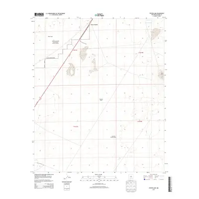
2013 Map of Foster Lake
USGS Topo · Published 2013About this map
White Sands National Monument and the White Sands Missile Range dominate this desert landscape within the Tularosa Valley. The map illustrates a strictly managed desert corridor where public and military land uses meet. The northern edge of the sheet features the prominent Point of Sands, a distinct geological landmark near the intersection of military boundaries and the shifting dunes of the White Sands. Water sources are few in this arid environment, represented by the isolated Salt Spring and Harrington Spring near the northeastern corner. Topographically, the area transitions from the flat valley floor toward the elevation of Twin Buttes and the mouth of Little San Nicolas Canyon, highlighting the varied terrain of Otero County.
Find a feature on this map
16 named features on this map. Tap any name to fly to it.
Don’t see what you’re looking for? This feature index may not catch every label — zoom into the map to look around manually.
Map Details
Editions of this 2013 Foster Lake Map
This is the sole edition of this map. No revisions or reprints were ever made.
Other maps of this area

1916 · Point Of Sands
USGS Topo · 1:125,000

1947 · Point Of Sands 2
USGS Topo · 1:62,500

1947 · Lake Lucero
USGS Topo · 1:62,500

1948 · Tres Hermanos
USGS Topo · 1:62,500

1948 · Holloman
USGS Topo · 1:62,500

1948 · Lake Lucero SE
USGS Topo · 1:24,000
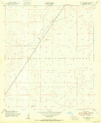
1950 · Lake Lucero SE
USGS Topo · 1:24,000
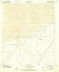
1950 · Lake Lucero NE
USGS Topo · 1:24,000

1955 · Las Cruces
USGS Topo · 1:250,000

1958 · Las Cruces
USGS Topo · 1:250,000