
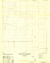
1948 Map of Tres Hermanos
USGS Topo · Published 1954About this map
White Sands National Monument and the surrounding desert landscape dominate this 1940s topographic survey, revealing a region transitioning from ranching to intensive military research. The map documents the sprawling White Sands Proving Ground and the Fort Bliss Anti-Aircraft Range, featuring a specialized site for the California Institute of Technology and several Block House Targets. These military installations were superimposed over an older geography of isolated outposts like White Sands Ranch and Olden Ranch.
Find a feature on this map
34 named features on this map. Tap any name to fly to it.
Don’t see what you’re looking for? This feature index may not catch every label — zoom into the map to look around manually.
Map Details
Editions of this 1948 Tres Hermanos Map
This is the sole edition of this map. No revisions or reprints were ever made.
Other maps of this area

1916 · Point Of Sands
USGS Topo · 1:125,000

1940 · Orogrande
USGS Topo · 1:62,500

1943 · Parker Lake
USGS Topo · 1:62,500

1943 · Pendejo Wash
USGS Topo · 1:62,500

1943 · Orogrande
USGS Topo · 1:62,500

1947 · Orogrande North
USGS Topo · 1:24,000

1947 · Point Of Sands 2
USGS Topo · 1:62,500

1947 · Lake Lucero
USGS Topo · 1:62,500

1948 · Elephant Mountain
USGS Topo · 1:24,000
1948 · Parker Lake NE
USGS Topo · 1:24,000