
1948 Map of Elephant Mountain
USGS Topo · Published 1948About this map
Fort Bliss Military Reservation dominates this 1948 survey, illustrating the significant land use shift toward military training and testing in the mid-century New Mexico desert. The landscape is defined by the arid Tularosa Valley, where water management was paramount for ranching and military operations alike. Small-scale water infrastructure including McNew Feeder Tank, Flying Eagle Tank, and several reservoirs dot the terrain, while McNew West Camp represents the sparse residential or operational outposts in this isolated stretch of Otero County. The topographic prominence of Elephant Mountain provides a stark contrast to the surrounding valley floor, featuring an adjacent Quarry that points to localized resource extraction. This edition, compiled from 1944 aerial photography, captures the area during its post-war transition, reflecting the Army Map Service's detailed documentation of strategic western landscapes.
Find a feature on this map
9 named features on this map. Tap any name to fly to it.
Don’t see what you’re looking for? This feature index may not catch every label — zoom into the map to look around manually.
Map Details
Editions of this 1948 Elephant Mountain Map
This is the sole edition of this map. No revisions or reprints were ever made.
Other maps of this area

1916 · Point Of Sands
USGS Topo · 1:125,000

1940 · Orogrande
USGS Topo · 1:62,500

1943 · Parker Lake
USGS Topo · 1:62,500

1943 · Orogrande
USGS Topo · 1:62,500

1947 · Orogrande North
USGS Topo · 1:24,000

1947 · Lake Lucero
USGS Topo · 1:62,500

1948 · El Wood
USGS Topo · 1:24,000
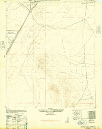
1948 · Orogrande South
USGS Topo · 1:24,000
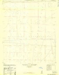
1948 · Parker Lake SE
USGS Topo · 1:24,000
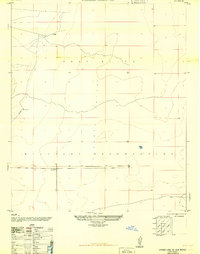
1948 · Parker Lake NE
USGS Topo · 1:24,000