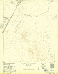
1948 Map of Orogrande South
USGS Topo · Published 1948About this map
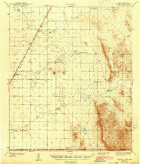
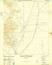
The settlement of Orogrande sits at the northern edge of this arid landscape, serving as a primary point of human activity within the expansive Tularosa Valley. Much of the western territory is occupied by the Fort Bliss Military Reservation, a designation that reflects the post-war strategic significance of this New Mexico desert. Transportation through this remote terrain is dominated by the Southern Pacific railroad, which parallels the highway north toward Alamogordo. Outside of the military boundaries and the concentrated rail corridor, the landscape is sparsely populated, with the McGregor Ranch marking the northeastern corner. Essential water infrastructure for ranching and survival in the high desert is evidenced by various isolated features, such as Sulphur Tank, Road Tank, and a larger unnamed Reservoir near the southern boundary.
Find a feature on this map
9 named features on this map. Tap any name to fly to it.
Don’t see what you’re looking for? This feature index may not catch every label — zoom into the map to look around manually.
Map Details
Editions of this 1948 Orogrande South Map
This is the sole edition of this map. No revisions or reprints were ever made.
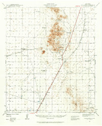
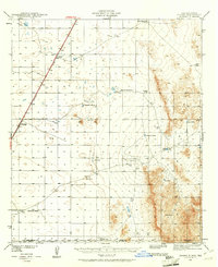
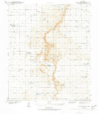
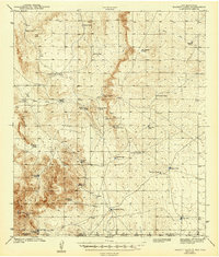
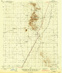
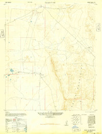
Other maps of this area

1940 · Bassett Lake
USGS Topo · 1:62,500
1940 · Orogrande
USGS Topo · 1:62,500
1941 · Desert
USGS Topo · 1:62,500
1943 · Pendejo Wash
USGS Topo · 1:62,500
1943 · Desert
USGS Topo · 1:62,500
1943 · Bassett Lake
USGS Topo · 1:62,500
1943 · Orogrande
USGS Topo · 1:62,500
1947 · Desert NE
USGS Topo · 1:24,000
1947 · Orogrande North
USGS Topo · 1:24,000
1948 · El Wood
USGS Topo · 1:24,000