1948 Map of Parker Lake NE
USGS Topo · Published 1948About this map
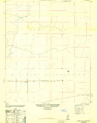
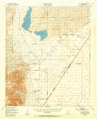
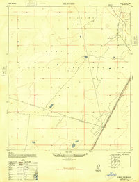
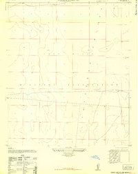
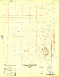
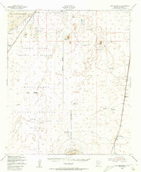
Fort Bliss Military Reservation dominates this 1948 survey of the arid Tularosa Valley, depicting a high-desert landscape utilized for military training during the early Cold War era. The map is primarily characterized by its sparse infrastructure, reflecting the specialized use of the terrain for defense purposes. Notable man-made landmarks are few, including a Water Tower and Hackberry Well, which provide crucial water points in this open environment. This planimetric revision, compiled from 1944 aerial photography, shows the expansive grid of public land survey lines and sectional boundaries that defined the territorial organization of Otero County during this period of military expansion.
Find a feature on this map
8 named features on this map. Tap any name to fly to it.
Don’t see what you’re looking for? This feature index may not catch every label — zoom into the map to look around manually.
Map Details
Editions of this 1948 Parker Lake NE Map
This is the sole edition of this map. No revisions or reprints were ever made.
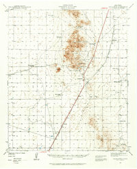
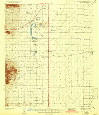
Other maps of this area

1916 · Point Of Sands
USGS Topo · 1:125,000
1940 · Orogrande
USGS Topo · 1:62,500
1943 · Parker Lake
USGS Topo · 1:62,500
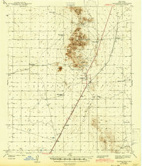
1943 · Orogrande
USGS Topo · 1:62,500
1947 · Lake Lucero
USGS Topo · 1:62,500

1948 · Davies Tank
USGS Topo · 1:24,000
1948 · El Wood
USGS Topo · 1:24,000
1948 · Parker Lake SE
USGS Topo · 1:24,000
1948 · Elephant Mountain
USGS Topo · 1:24,000
1948 · Tres Hermanos
USGS Topo · 1:62,500