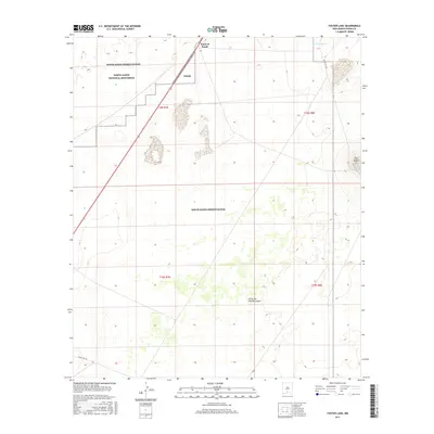
2017 Map of Foster Lake
USGS Topo · Published 2017About this map
White Sands National Monument defines the northwestern corner of this landscape, where the shifting gypsum sands meet the expansive military operations of the White Sands Missile Range. The terrain is marked by distinctive geological features like the Twin Buttes in the east and the Point of Sands landmark along the western corridor. Water sources are scarce but critical in this arid environment, evidenced by the presence of Harrington Spring and Foster Lake. Transportation is dominated by the diagonal cut of Highway 70, a primary artery through the basin, supported by restricted military routes such as Wsmr S RT 260 and Wsmr S RT 266. The map illustrates the 2017 boundaries where public parkland, federal missile testing grounds, and the natural drainages of Little San Nicolas Canyon intersect.
Find a feature on this map
16 named features on this map. Tap any name to fly to it.
Don’t see what you’re looking for? This feature index may not catch every label — zoom into the map to look around manually.
Map Details
Editions of this 2017 Foster Lake Map
This is the sole edition of this map. No revisions or reprints were ever made.
Other maps of this area

1916 · Point Of Sands
USGS Topo · 1:125,000

1947 · Point Of Sands 2
USGS Topo · 1:62,500

1947 · Lake Lucero
USGS Topo · 1:62,500

1948 · Tres Hermanos
USGS Topo · 1:62,500

1948 · Holloman
USGS Topo · 1:62,500

1948 · Lake Lucero SE
USGS Topo · 1:24,000
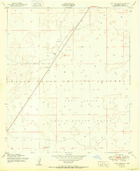
1950 · Lake Lucero SE
USGS Topo · 1:24,000
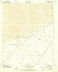
1950 · Lake Lucero NE
USGS Topo · 1:24,000

1955 · Las Cruces
USGS Topo · 1:250,000

1958 · Las Cruces
USGS Topo · 1:250,000