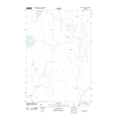
2011 Map of Foster Ridge
USGS Topo · Published 2011About this map
Foster Ridge and Crockett Ridge define the interior of this Piscataquis County landscape, a territory dominated by water bodies and old transport routes. The presence of the Old Stage Coach Rd in the southeastern corner suggests early travel patterns that preceded modern development. The drainage network is particularly dense here, with the South Branch Austin Stream feeding into Weeks Basin and Baker Flowage, illustrating how the local hydrology shaped the low-lying areas between the ridges. Larger water bodies like Bald Mountain Pond and Austin Pond anchor the northern and western reaches, while smaller basins such as Thanksgiving Pond and Hedgehog Pond dot the more secluded timberlands. The network of local ways, including Foss Pond Rd and Tyler Field Rd, provides access through this heavily wooded area of Blanchard Township.
Find a feature on this map
30 named features on this map. Tap any name to fly to it.
Don’t see what you’re looking for? This feature index may not catch every label — zoom into the map to look around manually.
Map Details
Editions of this 2011 Foster Ridge Map
This is the sole edition of this map. No revisions or reprints were ever made.
Other maps of this area

1903 · Bingham
USGS Topo · 1:62,500

1905 · Bingham
USGS Topo · 1:62,500

1905 · The Forks
USGS Topo · 1:62,500

1907 · The Forks
USGS Topo · 1:62,500

1948 · Kingsbury
USGS Topo · 1:62,500

1950 · Kingsbury
USGS Topo · 1:62,500

1951 · Greenville
USGS Topo · 1:62,500

1954 · Millinocket
USGS Topo · 1:250,000

1956 · The Forks
USGS Topo · 1:62,500

1956 · Bingham
USGS Topo · 1:62,500
Featured Places
- Blanchard Township, ME
- Kingsbury Plantation, ME
- Mayfield Township, ME
- Bald Mountain Township, ME
- Somerset County, ME