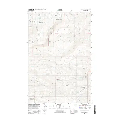
2014 Map of Foundation Ridge
USGS Topo · Published 2014About this map
Snoqualmie National Forest dominates this high-elevation landscape in Yakima County, where the topography is defined by the sharp rise of Foundation Ridge and the prominent Dome Peak. The drainage patterns here are complex, with the headwaters of the N Fork Ahtanum Cr and Middle Fork Ahtanum Cr carving deep routes through McLaine Canyon and Hacket Canyon. The map reveals a series of alpine meadows and flats that provided essential landmarks for forest navigation and resource management, such as Ahtanum Meadows, Dead Horse Flats, and the oddly named Nasty Creek Flats. Small bodies of water like Fish Lake and Long Lake are scattered across the higher reaches, while the transition between Divide Ridge and Strobach Mtn highlights the area's significance for early 21st-century forestry and wilderness access via Nat For Dev Rd 1202.
Find a feature on this map
38 named features on this map. Tap any name to fly to it.
Don’t see what you’re looking for? This feature index may not catch every label — zoom into the map to look around manually.
Map Details
Editions of this 2014 Foundation Ridge Map
This is the sole edition of this map. No revisions or reprints were ever made.
Other maps of this area

1899 · Ellensburg
USGS Topo · 1:125,000

1901 · Ellensburg
USGS Topo · 1:125,000

1902 · Mount Aix
USGS Topo · 1:125,000

1904 · Mt Aix
USGS Topo · 1:125,000

1904 · Mount Adams
USGS Topo · 1:125,000

1907 · Mount Adams
USGS Topo · 1:125,000

1937 · White Swan
USGS Topo · 1:125,000

1950 · Yakima
USGS Topo · 1:250,000

1957 · Yesmowit Canyon
USGS Topo · 1:24,000

1958 · Fort Simcoe
USGS Topo · 1:62,500