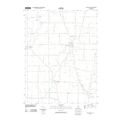
2010 Map of Fountain City
USGS Topo · Published 2010About this map
Fountain City serves as the central hub of this Indiana landscape, situated along the upper reaches of Nolands Fork. The settlement pattern reflects a stable agricultural community defined by a grid of rural roads like Round Barn Rd and Fountain City Pike, connecting outlying villages such as Williamsburg and Webster. The map is particularly notable for its documentation of local burial sites, including the Independent Order of Odd Fellows Cemetery and Old Concord Cemetery, providing valuable data for genealogical research in this part of Wayne County.
Find a feature on this map
80 named features on this map. Tap any name to fly to it.
Don’t see what you’re looking for? This feature index may not catch every label — zoom into the map to look around manually.
Map Details
Editions of this 2010 Fountain City Map
This is the sole edition of this map. No revisions or reprints were ever made.
Other maps of this area

1915 · New Paris
USGS Topo · 1:48,000

1916 · Winchester
USGS Topo · 1:48,000

1918 · Winchester
USGS Topo · 1:62,500

1918 · New Paris
USGS Topo · 1:62,500

1943 · Winchester
USGS Topo · 1:62,500

1953 · Cincinnati
USGS Topo · 1:250,000

1953 · Muncie
USGS Topo · 1:250,000

1956 · Muncie
USGS Topo · 1:250,000

1957 · Cincinnati
USGS Topo · 1:250,000

1960 · Carlos
USGS Topo · 1:24,000