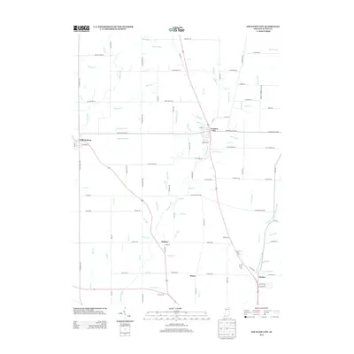
2013 Map of Fountain City
USGS Topo · Published 2013About this map
Fountain City and Williamsburg anchor this rural landscape in northern Wayne County during the early 2010s. The region is defined by a dense network of small waterways, most notably Nolands Fork, which flows past the athletic grounds of Young Stadium. The settlement patterns here follow a precise grid of county roads, with smaller communities like Webster and Chester situated along the primary north-south corridors of US Highway 27 and State Road 35.
Find a feature on this map
89 named features on this map. Tap any name to fly to it.
Don’t see what you’re looking for? This feature index may not catch every label — zoom into the map to look around manually.
Map Details
Editions of this 2013 Fountain City Map
This is the sole edition of this map. No revisions or reprints were ever made.
Other maps of this area

1915 · New Paris
USGS Topo · 1:48,000

1916 · Winchester
USGS Topo · 1:48,000

1918 · Winchester
USGS Topo · 1:62,500

1918 · New Paris
USGS Topo · 1:62,500

1943 · Winchester
USGS Topo · 1:62,500

1953 · Cincinnati
USGS Topo · 1:250,000

1953 · Muncie
USGS Topo · 1:250,000

1956 · Muncie
USGS Topo · 1:250,000

1957 · Cincinnati
USGS Topo · 1:250,000

1960 · Carlos
USGS Topo · 1:24,000