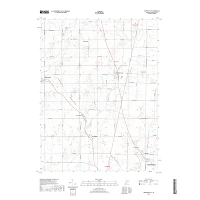
2019 Map of Fountain City
USGS Topo · Published 2019About this map
Fountain City serves as the central hub for this portion of Wayne County, where the north-south corridor of Main St intersects with the waters of Willow Run. This landscape is characterized by a dense network of country roads and small farming communities, including Williamsburg to the west and Webster to the south. The area’s Quaker heritage is visible through sites like Center Friends Cem, while other historic burial grounds such as Old Concord Cem and Newport Cem are scattered across the township boundaries. The drainage pattern is defined by several significant waterways, most notably Nolands Fork and Greens Fork, which segment the agricultural sections into distinct neighborhoods. As a contemporary record, the map shows the expansion of northern Richmond reaching toward Chester, illustrating the gradual shift from rural farmsteads to suburban development along Fountain City Pike.
Find a feature on this map
113 named features on this map. Tap any name to fly to it.
Don’t see what you’re looking for? This feature index may not catch every label — zoom into the map to look around manually.
Map Details
Editions of this 2019 Fountain City Map
This is the sole edition of this map. No revisions or reprints were ever made.
Other maps of this area

1915 · New Paris
USGS Topo · 1:48,000

1916 · Winchester
USGS Topo · 1:48,000

1918 · Winchester
USGS Topo · 1:62,500

1918 · New Paris
USGS Topo · 1:62,500

1943 · Winchester
USGS Topo · 1:62,500

1953 · Cincinnati
USGS Topo · 1:250,000

1953 · Muncie
USGS Topo · 1:250,000

1956 · Muncie
USGS Topo · 1:250,000

1957 · Cincinnati
USGS Topo · 1:250,000

1960 · Carlos
USGS Topo · 1:24,000