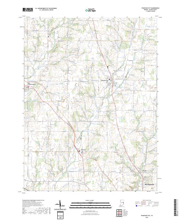
2022 Map of Fountain City
USGS Topo · Published 2022About this map
Fountain City serves as the central hub of this eastern Indiana landscape, where the headwaters of several significant creeks diverge across Wayne County. The town is situated at a historic crossroads where the Cardinal Greenway Trl now follows an old rail corridor, connecting it south toward Richmond and northwest past Williamsburg. The area is notably dense with early regional history, marked by numerous rural burial grounds such as Center Friends Cem, Old Concord Cem, and Newport Cem, which speak to the Quaker heritage and settlement patterns of the 19th century.
Find a feature on this map
110 named features on this map. Tap any name to fly to it.
Don’t see what you’re looking for? This feature index may not catch every label — zoom into the map to look around manually.
Map Details
Editions of this 2022 Fountain City Map
This is the sole edition of this map. No revisions or reprints were ever made.
Other maps of this area

1915 · New Paris
USGS Topo · 1:48,000

1916 · Winchester
USGS Topo · 1:48,000

1918 · Winchester
USGS Topo · 1:62,500

1918 · New Paris
USGS Topo · 1:62,500

1943 · Winchester
USGS Topo · 1:62,500

1953 · Cincinnati
USGS Topo · 1:250,000

1953 · Muncie
USGS Topo · 1:250,000

1956 · Muncie
USGS Topo · 1:250,000

1957 · Cincinnati
USGS Topo · 1:250,000

1960 · Carlos
USGS Topo · 1:24,000