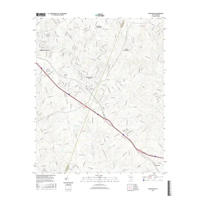
2017 Map of Fountain Inn
USGS Topo · Published 2017About this map
Fountain Inn straddles the boundary between Greenville and Laurens counties, serving as a primary hub for this Piedmont landscape. This 2017 survey shows the transition from the suburban edge of Simpsonville into more rural stretches, where local history is preserved in a significant concentration of burial grounds. Family and community heritage is anchored at Fountain Inn Municipal Cemetery, Durbin Creek Cemetery, and New Harmony Cemetery.
Find a feature on this map
207 named features on this map. Tap any name to fly to it.
Don’t see what you’re looking for? This feature index may not catch every label — zoom into the map to look around manually.
Map Details
Editions of this 2017 Fountain Inn Map
This is the sole edition of this map. No revisions or reprints were ever made.
Other maps of this area

1935 · Greer
USGS Topo · 1:48,000

1935 · Greenville
USGS Topo · 1:48,000

1938 · Greenville
USGS Topo · 1:62,500

1938 · Greer
USGS Topo · 1:62,500

1954 · Greenville
USGS Topo · 1:250,000

1957 · Fountain Inn
USGS Topo · 1:62,500

1957 · Williamston
USGS Topo · 1:62,500

1957 · Greer
USGS Topo · 1:62,500

1957 · Greenville
USGS Topo · 1:62,500

1958 · Greenville
USGS Topo · 1:250,000