
1957 Map of Williamston
USGS Topo · Published 1958About this map
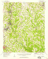
Donaldson Air Force Base and the U S Military Reservation dominate the northern landscape of this South Carolina region during the late 1950s. The industrial character of the era is evident along the Saluda River, where the Pelzer Mills Dam and a nearby Power Plant served the manufacturing needs of Pelzer and West Pelzer. The map captures a high density of rural institutions, from the Oaklawn Prison Camp to numerous community centers like McKelvey Crossroads and Ware Place.
Find a feature on this map
91 named features on this map. Tap any name to fly to it.
Don’t see what you’re looking for? This feature index may not catch every label — zoom into the map to look around manually.
Map Details
Editions of this 1957 Williamston Map
2 editions found
Other maps of this area

1888 · Pickens
USGS Topo · 1:125,000

1892 · Abbeville
USGS Topo · 1:125,000

1893 · Elberton
USGS Topo · 1:125,000

1894 · Pickens
USGS Topo · 1:125,000

1935 · Greer
USGS Topo · 1:48,000

1935 · Greenville
USGS Topo · 1:48,000

1938 · Greenville
USGS Topo · 1:62,500

1938 · Greer
USGS Topo · 1:62,500

1954 · Greenville
USGS Topo · 1:250,000

1957 · Fountain Inn
USGS Topo · 1:62,500