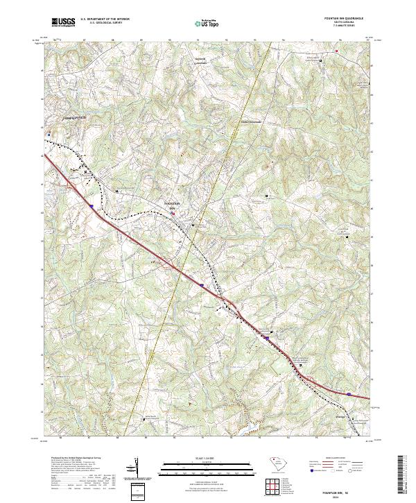
2024 Map of Fountain Inn
USGS Topo · Published 2024About this map
Fountain Inn and the southern reaches of Simpsonville anchor this modern survey of the Upstate, where the transition from Greenville Co into Laurens Co is defined by a dense network of suburban development and historic community hubs. The landscape is characterized by the headwaters of numerous small tributaries, including Durbin Creek and Stoddard Creek, which flow through a terrain dotted with long-established religious sites and family burial grounds. Notable landmarks include the Fountain Inn Municipal Cem and the Bethlehem Baptist Church Graveyard, reflecting the deep-rooted social history of the region.
Find a feature on this map
241 named features on this map. Tap any name to fly to it.
Don’t see what you’re looking for? This feature index may not catch every label — zoom into the map to look around manually.
Map Details
Editions of this 2024 Fountain Inn Map
This is the sole edition of this map. No revisions or reprints were ever made.
Other maps of this area

1935 · Greer
USGS Topo · 1:48,000

1935 · Greenville
USGS Topo · 1:48,000

1938 · Greenville
USGS Topo · 1:62,500

1938 · Greer
USGS Topo · 1:62,500

1954 · Greenville
USGS Topo · 1:250,000

1957 · Fountain Inn
USGS Topo · 1:62,500

1957 · Williamston
USGS Topo · 1:62,500

1957 · Greer
USGS Topo · 1:62,500

1957 · Greenville
USGS Topo · 1:62,500

1958 · Greenville
USGS Topo · 1:250,000