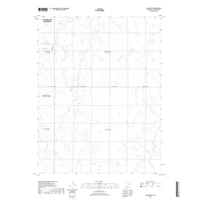
2019 Map of Fountain NE
USGS Topo · Published 2019About this map
The high plains southeast of Colorado Springs are defined by the seasonal drainage patterns of Williams Cr and Chico Cr as they meander south toward the Arkansas River valley. In this 2019 survey, the landscape maintains its wide-open character, marked by the expansive sections of the Public Land Survey System that delineate the transition from the city's outskirts toward the rural ranch lands of El Paso County. The map shows the encroaching edge of Fountain and the sparse network of country roads, such as Squirrel Creek Rd and Peaceful Valley Rd, that grid the prairie. This edition captures the area's development just before significant suburban sprawl began to further alter these historical grazing lands, providing a clear record of the intersection between urban expansion and the traditional drainage geography of the Colorado Front Range.
Find a feature on this map
14 named features on this map. Tap any name to fly to it.
Don’t see what you’re looking for? This feature index may not catch every label — zoom into the map to look around manually.
Map Details
Editions of this 2019 Fountain NE Map
This is the sole edition of this map. No revisions or reprints were ever made.
Other maps of this area

1893 · Big Springs
USGS Topo · 1:125,000

1893 · Colorado Springs
USGS Topo · 1:125,000

1909 · Colorado Springs
USGS Topo · 1:125,000

1942 · Colorado Springs
USGS Topo · 1:125,000

1948 · Fountain SE
USGS Topo · 1:24,000

1948 · Fountain
USGS Topo · 1:24,000

1948 · Falcon
USGS Topo · 1:62,500
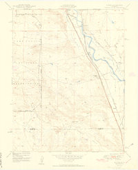
1949 · Buttes
USGS Topo · 1:24,000

1949 · Corral Bluffs
USGS Topo · 1:24,000
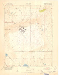
1950 · Elsmere
USGS Topo · 1:24,000