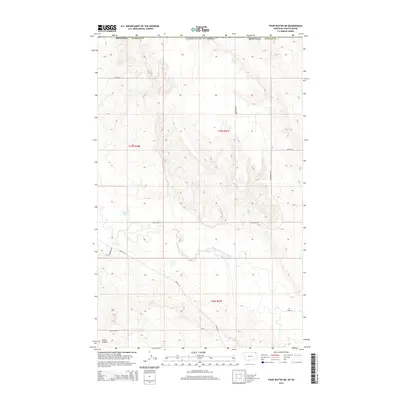
2014 Map of Four Buttes NE
USGS Topo · Published 2014About this map
The United States border with Canada defines the northern edge of this landscape in Daniels County, Montana. The terrain is characterized by the winding path of the Middle Fork Poplar River as it cuts through the prairie, while Silver Lake provides a localized water feature in the western sections. The rural infrastructure is marked by a network of named roads that often follow section lines or topographical natural features, including Coal Mine Rd and French Ln. The presence of Audet Coulee in the southwest corner suggests the complex drainage patterns typical of this high plains region. This map captures the late 20th and early 21st-century land use, where family-named routes like Olson Ln, Tymofchuk Rd, and Hagfeldt Rd provide clues to local land ownership and the homesteading history of the region.
Find a feature on this map
16 named features on this map. Tap any name to fly to it.
Don’t see what you’re looking for? This feature index may not catch every label — zoom into the map to look around manually.
Map Details
Editions of this 2014 Four Buttes NE Map
This is the sole edition of this map. No revisions or reprints were ever made.
Other maps of this area

1954 · Wolf Point
USGS Topo · 1:250,000

1958 · Wolf Point
USGS Topo · 1:250,000

1973 · Scobey
USGS Topo · 1:24,000

1973 · Scobey NW
USGS Topo · 1:24,000

1973 · Killenbeck Reservoir
USGS Topo · 1:24,000

1973 · Four Buttes NE
USGS Topo · 1:24,000

1973 · Four Buttes
USGS Topo · 1:24,000

1973 · Four Buttes NW
USGS Topo · 1:24,000

1983 · Scobey
USGS Topo · 1:100,000
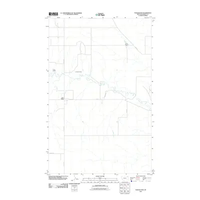
2011 · Four Buttes
USGS Topo · 1:24,000