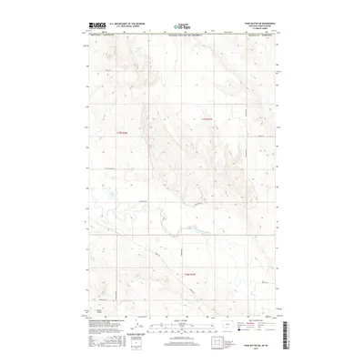
2017 Map of Four Buttes NE
USGS Topo · Published 2017About this map
The Middle Fork Poplar River meanders through this portion of Daniels County along the international border with Canada. This prairie landscape is defined by the expansive United States boundary at the northern edge, where the terrain transitions into the drainages of Audet Coulee. The rural infrastructure is characterized by a grid of family-named and descriptive routes, such as Tymopichuk Rd, Hagfeldt Rd, and Coal Mine Rd, which suggest the agricultural and industrial history of the high plains. Near the western edge, Silver Lake sits amidst the surveyed sections of t37n r46e, reflecting the characteristic land-use patterns of northeastern Montana in the early twenty-first century. These roads provide a clear view of how land ownership and access were structured across the townships of t37n r47e and t36n r47e during this era.
Find a feature on this map
18 named features on this map. Tap any name to fly to it.
Don’t see what you’re looking for? This feature index may not catch every label — zoom into the map to look around manually.
Map Details
Editions of this 2017 Four Buttes NE Map
This is the sole edition of this map. No revisions or reprints were ever made.
Other maps of this area

1954 · Wolf Point
USGS Topo · 1:250,000

1958 · Wolf Point
USGS Topo · 1:250,000

1973 · Scobey
USGS Topo · 1:24,000

1973 · Scobey NW
USGS Topo · 1:24,000

1973 · Killenbeck Reservoir
USGS Topo · 1:24,000

1973 · Four Buttes NE
USGS Topo · 1:24,000

1973 · Four Buttes
USGS Topo · 1:24,000

1973 · Four Buttes NW
USGS Topo · 1:24,000

1983 · Scobey
USGS Topo · 1:100,000
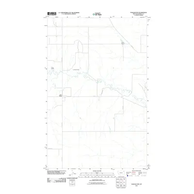
2011 · Four Buttes
USGS Topo · 1:24,000