
1973 Map of Four Buttes NE
USGS Topo · Published 1976About this map
The international border between Canada and the United States defines the northern edge of this 1970s survey, where the wide valley of the Middle Fork Poplar River meanders across the landscape of Daniels County. The terrain is marked by significant topographical relief, particularly in the northern reaches where the drainage systems carved into the plateau near the border with Saskatchewan. While the area is largely characterized by open space and natural drainage, specific points of interest for local historians include the Cave Mine and a Gravel Pit, suggesting the small-scale extraction activities of the era. Scattered water sources like Silver Lake and a namesake Spring provided critical points of interest in this semi-arid northern plains environment.
Find a feature on this map
9 named features on this map. Tap any name to fly to it.
Don’t see what you’re looking for? This feature index may not catch every label — zoom into the map to look around manually.
Map Details
Editions of this 1973 Four Buttes NE Map
This is the sole edition of this map. No revisions or reprints were ever made.
Other maps of this area

1954 · Wolf Point
USGS Topo · 1:250,000

1958 · Wolf Point
USGS Topo · 1:250,000

1973 · Scobey
USGS Topo · 1:24,000

1973 · Scobey NW
USGS Topo · 1:24,000

1973 · Killenbeck Reservoir
USGS Topo · 1:24,000

1973 · Four Buttes
USGS Topo · 1:24,000

1973 · Four Buttes NW
USGS Topo · 1:24,000

1983 · Scobey
USGS Topo · 1:100,000
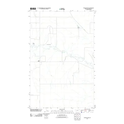
2011 · Four Buttes
USGS Topo · 1:24,000
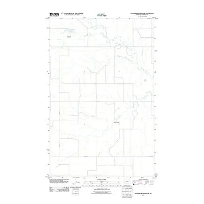
2011 · Killenbeck Reservoir
USGS Topo · 1:24,000