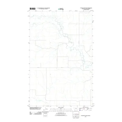
2011 Map of Four Buttes NW
USGS Topo · Published 2011About this map
The Middle Fork Poplar River meanders through the eastern edge of this Montana landscape, defining a terrain shaped by the slow drainages of the Northern Plains. At the turn of the twenty-first century, this area of Daniels County remains a remote agricultural and ranching expanse, where water sources like Lost Child Creek and Coal Creek dictate the layout of the rural road network. The map reveals the precise positioning of long-established section-line routes, such as N 4 Buttes Rd and Halverson Rd, which provide access to the vast open ranges between Butte Creek and the northern reaches of the quadrangle. These survey lines and creek crossings offer critical spatial data for understanding the rural infrastructure of the region during this period of the early 2000s.
Find a feature on this map
7 named features on this map. Tap any name to fly to it.
Don’t see what you’re looking for? This feature index may not catch every label — zoom into the map to look around manually.
Map Details
Editions of this 2011 Four Buttes NW Map
This is the sole edition of this map. No revisions or reprints were ever made.
Other maps of this area

1954 · Wolf Point
USGS Topo · 1:250,000

1958 · Wolf Point
USGS Topo · 1:250,000

1973 · Peerless
USGS Topo · 1:24,000

1973 · Carbert
USGS Topo · 1:24,000

1973 · Killenbeck Reservoir
USGS Topo · 1:24,000

1973 · Four Buttes NE
USGS Topo · 1:24,000

1973 · Four Buttes
USGS Topo · 1:24,000

1973 · Four Buttes NW
USGS Topo · 1:24,000

1983 · Scobey
USGS Topo · 1:100,000
2011 · Four Buttes
USGS Topo · 1:24,000