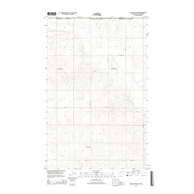
2014 Map of Four Buttes NW
USGS Topo · Published 2014About this map
Daniels County terrain near the Canadian border is defined by the high, open divides between the Coal Cr and Butte Cr watersheds. This 2014 survey reveals a landscape organized by the Public Land Survey System, where section lines dictate a network of gravel roads and lanes named for the families who settled this part of the northern plains. The road names themselves, such as Halverson Rd, Hagfeldt Rd, and Olson Ln, offer a direct connection to the homesteading history of the region. Aside from the occasional water source like the 37N46E27BCDC01 Spring, the map depicts a largely agricultural or pastoral environment where the vast spacing between established routes like French Ln and Oender Ln underscores the sparse settlement patterns typical of the high prairie during the early 21st century.
Find a feature on this map
14 named features on this map. Tap any name to fly to it.
Don’t see what you’re looking for? This feature index may not catch every label — zoom into the map to look around manually.
Map Details
Editions of this 2014 Four Buttes NW Map
This is the sole edition of this map. No revisions or reprints were ever made.
Other maps of this area

1954 · Wolf Point
USGS Topo · 1:250,000

1958 · Wolf Point
USGS Topo · 1:250,000

1973 · Peerless
USGS Topo · 1:24,000

1973 · Carbert
USGS Topo · 1:24,000

1973 · Killenbeck Reservoir
USGS Topo · 1:24,000

1973 · Four Buttes NE
USGS Topo · 1:24,000

1973 · Four Buttes
USGS Topo · 1:24,000

1973 · Four Buttes NW
USGS Topo · 1:24,000

1983 · Scobey
USGS Topo · 1:100,000
2011 · Four Buttes
USGS Topo · 1:24,000