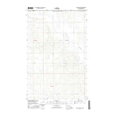
2017 Map of Four Buttes NW
USGS Topo · Published 2017About this map
The Middle Fork Poplar River carves a central path through this Daniels County landscape, which remains defined by a strict grid of section lines and gravel roads. In the northern reaches, Coal Cr and Butte Cr provide drainage for a terrain dominated by agricultural allotments and the vast open spaces of the high plains. The map reveals a network of named local arteries including Hagfeldt Rd, Halverson Rd, and N Four Buttes Rd, which connect the isolated homesteads and farmsteads typical of this region's rural economy. This 2017 survey by the U.S. Geological Survey provides a precise record of the road network and water distribution across townships such as t37n r46e and t36n r46e, reflecting the enduring land use patterns of northeastern Montana.
Find a feature on this map
14 named features on this map. Tap any name to fly to it.
Don’t see what you’re looking for? This feature index may not catch every label — zoom into the map to look around manually.
Map Details
Editions of this 2017 Four Buttes NW Map
This is the sole edition of this map. No revisions or reprints were ever made.
Other maps of this area

1954 · Wolf Point
USGS Topo · 1:250,000

1958 · Wolf Point
USGS Topo · 1:250,000

1973 · Peerless
USGS Topo · 1:24,000

1973 · Carbert
USGS Topo · 1:24,000

1973 · Killenbeck Reservoir
USGS Topo · 1:24,000

1973 · Four Buttes NE
USGS Topo · 1:24,000

1973 · Four Buttes
USGS Topo · 1:24,000

1973 · Four Buttes NW
USGS Topo · 1:24,000

1983 · Scobey
USGS Topo · 1:100,000
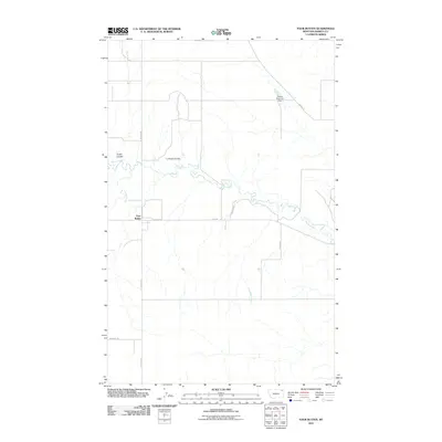
2011 · Four Buttes
USGS Topo · 1:24,000