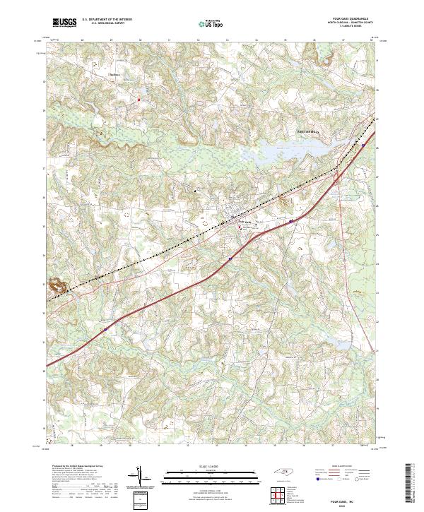
2022 Map of Four Oaks
USGS Topo · Published 2022About this map
Four Oaks sits at the heart of this Johnston County landscape, where the modern transport corridor of the Interstate meets older networks of family-named roads and drainage systems. The town’s history is anchored by the Four Oaks Historical Cem and nearby Keen Cem, indicating the deep roots of local lineages. North of town, the terrain is defined by the winding course of Black Creek and the small settlement of Spilona, while the southern reaches are dominated by extensive wetlands like Juniper Swamp and Beaverdam Swamp. Water management throughout the 20th century is evident in the numerous impoundments such as Massengill Mill Pond, Lake Levinson, and McArthur Lake. These features reveal a pattern of rural land use where agriculture and forestry have long contended with the natural floodplains of Hannah Cr and Gum Swamp.
Find a feature on this map
120 named features on this map. Tap any name to fly to it.
Don’t see what you’re looking for? This feature index may not catch every label — zoom into the map to look around manually.
Map Details
Editions of this 2022 Four Oaks Map
This is the sole edition of this map. No revisions or reprints were ever made.
Other maps of this area

1906 · Four Oaks
USGS Topo · 1:48,000

1908 · Four Oaks
USGS Topo · 1:62,500

1953 · Raleigh
USGS Topo · 1:250,000

1954 · Raleigh
USGS Topo · 1:250,000

1964 · Selma
USGS Topo · 1:62,500

1964 · Edmondson
USGS Topo · 1:24,000

1964 · Garner
USGS Topo · 1:62,500

1964 · Powhatan
USGS Topo · 1:24,000

1964 · Selma
USGS Topo · 1:24,000

1973 · Benson
USGS Topo · 1:24,000