Loading...
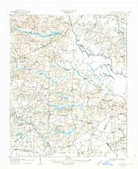
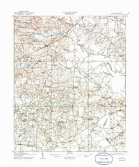
Loading map...1908 Map of Four Oaks
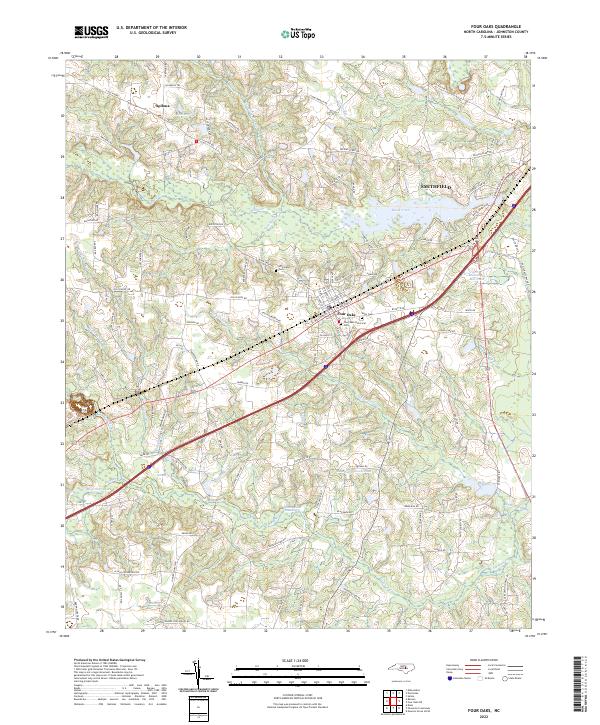
USGS Topo · Published 1944About this map
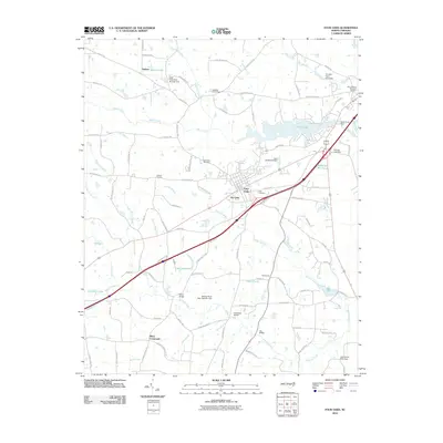
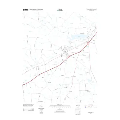
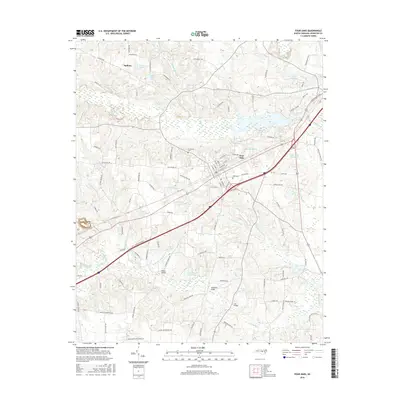
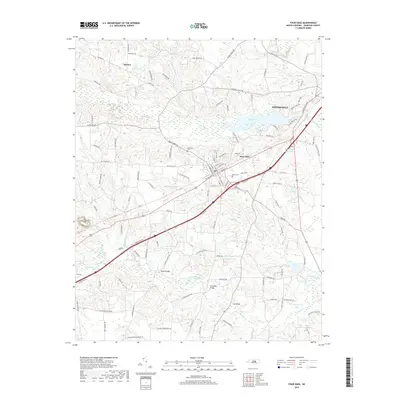
Four Oaks serves as a central hub in Johnston County, situated along the Atlantic Coast Line railroad and the Smithfield and Coast Line Road. The landscape is defined by the winding course of the Neuse River and a dense network of water-powered industry, with Lees Mill and Creeches Mill indicating the agricultural importance of the region at the turn of the century. The interior is punctuated by numerous crossroads settlements such as Blackmon Crossroads and Strickland Crossroads, which served as vital local gathering points.
Find a feature on this map
91 named features on this map. Tap any name to fly to it.
Don’t see what you’re looking for? This feature index may not catch every label — zoom into the map to look around manually.
Map Details
Date Portrayed1908
Date Published1944
PublisherU.S. Geological Survey
Map TypeTopographic
Scale1:62,500
Physical Dimensions16.9 x 20.8 inches
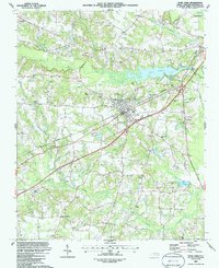
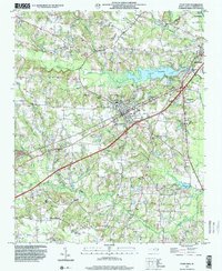
Editions of this 1908 Four Oaks Map
3 editions found

Historical Maps of Smithfield Through Time
9 maps found

Featured Locations
Source Details
SourceU.S. Geological Survey
CopyrightPublic Domain