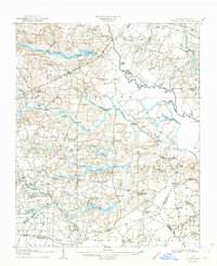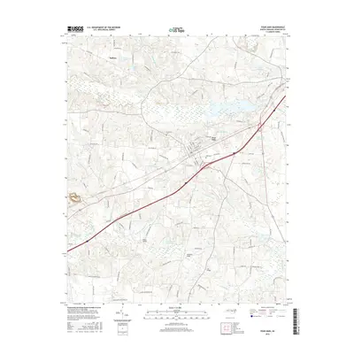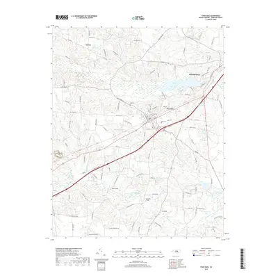
1997 Map of Four Oaks
USGS Topo · Published 2000About this map
Four Oaks serves as the central hub of this late-20th-century Johnston County landscape, situated near the headwaters of numerous tributaries that feed the Neuse River. The settlement pattern is defined by a dense network of rural landmarks, particularly country churches like Juniper Grove Ch and Beulah Hill Ch, alongside several cemeteries that offer significant value for genealogical research. Water dominates the eastern and southern reaches of the quadrangle, where Holts Lake and Lake Levinson punctuate a terrain of meandering wetlands including Beaverdam Swamp and Gum Swamp. The infrastructure of the era is evident in the transition from traditional crossroads like Allens Crossroads to modern transit corridors marked by Interchange 90. This survey also identifies specific local institutions such as Four Oaks High Sch and the Keen Cem Park.
Find a feature on this map
41 named features on this map. Tap any name to fly to it.
Don’t see what you’re looking for? This feature index may not catch every label — zoom into the map to look around manually.
Map Details
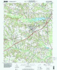
Editions of this 1997 Four Oaks Map
This is the sole edition of this map. No revisions or reprints were ever made.
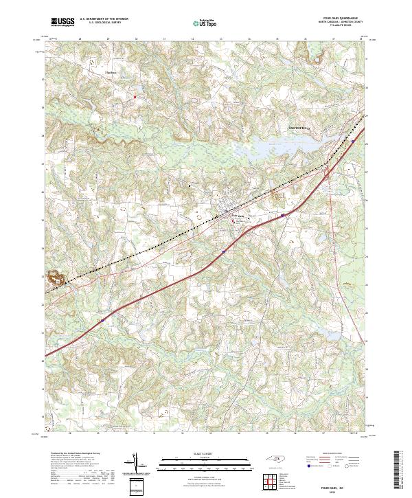
Historical Maps of Smithfield Through Time
9 maps found