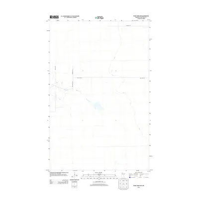
2013 Map of Four Town NW
USGS Topo · Published 2013About this map
Moose River meanders through this portion of Beltrami County, defining a landscape of low-relief wetlands and forest typical of northern Minnesota. This 2013 survey illustrates the sparse, grid-based road network that serves the region, where rural connectivity relies on routes like Morehouse Rd and Moose River Rd Nw. The environment is characterized by minimal elevation changes, with the river providing the primary natural landmark in a territory dominated by peatlands and timber. Collectors of modern cartography will find a clear record of the intersection between local land management and the natural watercourse, traced through local corridors such as Snowbird Ln Nw and Morel Rd Nw.
Find a feature on this map
6 named features on this map. Tap any name to fly to it.
Don’t see what you’re looking for? This feature index may not catch every label — zoom into the map to look around manually.
Map Details
Editions of this 2013 Four Town NW Map
This is the sole edition of this map. No revisions or reprints were ever made.
Other maps of this area

1918 · Pencer
USGS Topo · 1:62,500

1918 · Malcolm
USGS Topo · 1:62,500

1919 · Liner
USGS Topo · 1:62,500

1954 · Roseau
USGS Topo · 1:250,000

1957 · Roseau
USGS Topo · 1:250,000

1958 · Roseau
USGS Topo · 1:250,000

1968 · Mulligan Lake SW
USGS Topo · 1:24,000
1968 · Mulligan Lake
USGS Topo · 1:24,000
1969 · Skime
USGS Topo · 1:24,000

1973 · Gates Corner
USGS Topo · 1:24,000